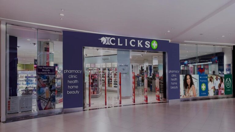
About Clicks Swakopmund Founded over 55 years ago in 1968, Clicks is the country’s leading health, beauty and wellness retailer Read more...
Sorry, no records were found. Please adjust your search criteria and try again.
Sorry, unable to load the Maps API.
Hartbeesfontein is a resilient town situated in the heart of a region defined by its geological wealth and agricultural fertility. The town is famously located on the Hartbeesfontein Basin (part of the larger KOSH—Klerksdorp, Orkney, Stilfontein, and Hartbeesfontein—mining area). Historically, the town’s economy was built on the southern rim of this basin, which served as a significant source of gold for over a century.
In 2026, while many of the older deep-level shafts in the immediate vicinity have matured, the town remains a critical residential and service node for the remaining mining operations in the Dr Kenneth Kaunda District. The industrial sector continues to focus on mine rehabilitation services and specialized engineering, addressing the unique challenges of the regional dolomitic aquifers. For investors, Hartbeesfontein offers an established industrial base with a workforce traditionally geared toward heavy machinery and subterranean technical services.
Beyond its mineral wealth, Hartbeesfontein is a cornerstone of the North West's "Maize Triangle." The surrounding plateau is characterized by high-yield grain production, with maize, sunflowers, and sorghum being the primary crops. The town serves as a vital logistics and storage point for regional farmers, housing significant silo infrastructure and agricultural cooperatives.
A notable trend in 2026 is the ongoing diversification of local land use. While traditional cattle ranching remains a pillar of the local economy, there has been a significant shift toward game farming and eco-estates. Many historic farms have transitioned into private reserves, catering to the growing domestic hunting and conservation-tourism markets. This shift has created new opportunities for professional services in land management, veterinary science, and specialized hospitality catering to the agribusiness sector.
Hartbeesfontein holds a prominent place in South African military history. It was the site of the Battle of Hartbeesfontein on 17 February 1901 during the Second Boer War. This major skirmish between British forces under Lord Methuen and Boer commandos is commemorated by various monuments and a well-preserved military cemetery. The cemetery contains the graves of British and Australian soldiers, making it a point of interest for international heritage tourists and historians.
The town’s cultural appeal is further enhanced by its natural assets. The Hartbeesfontein Dam and the nearby nature reserve provide a sanctuary for birdwatchers and anglers, offering a tranquil alternative to the busier urban centres of Klerksdorp and Potchefstroom. This blend of rugged bushveld beauty and "old-world" colonial and Boer architecture provides a unique tourism product that supports a small but stable network of guest houses and artisanal retailers.
Strategically located at the intersection of the R503 (connecting Klerksdorp to Lichtenburg) and the R507 (linking Ottosdal to Delareyville), Hartbeesfontein is a critical transit point for the movement of agricultural goods and mining equipment. Its proximity to the N12 Treasure Corridor—a major development axis—ensures that it remains integrated into the national logistics network.
Infrastructure developments in 2026 have been bolstered by the rollout of high-speed fibre-optic networks, which has enabled a growing number of professionals to base themselves in the town while working remotely for firms in Gauteng. The town provides essential municipal services, including a local clinic, police station, and primary schools, supporting a permanent population that values the security and "slow living" atmosphere of a rural town with metropolitan-standard connectivity.